New York Weather
New York Weather: Tornado Warning in Queens, Flash Flooding, Then a Cold, Windy Friday
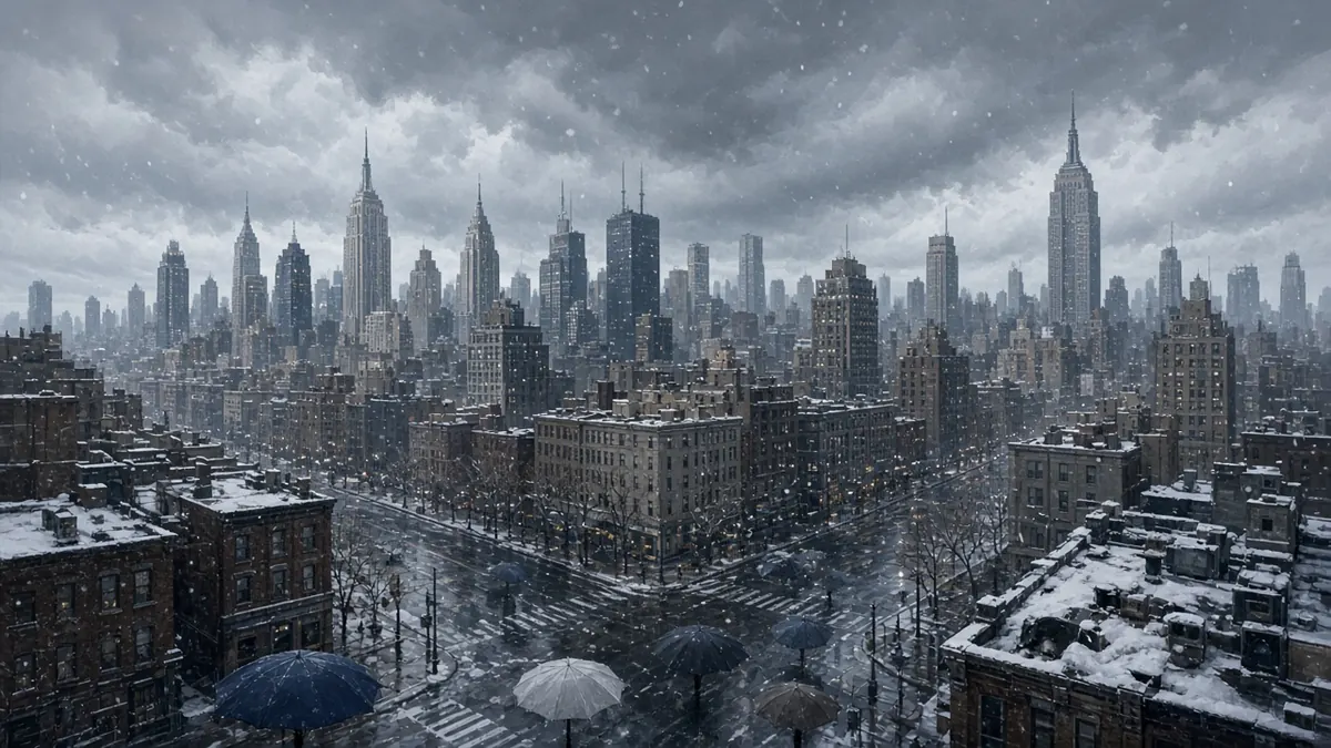
New York City got an unusual November jolt on Thursday, Nov. 12. A strong storm system brought a tornado warning to Queens, ground stops at JFK and LaGuardia airports, hail and flash flooding. Rain is expected to hang on into Friday as much colder air arrives. Snow is in the picture, but for the Catskills and Poconos, not the five boroughs.
This is a fast-moving situation. Check National Weather Service alerts and Notify NYC for the latest before you travel.
What happened in Queens on Thursday?
The National Weather Service issued a tornado warning for Queens at 1:14 p.m. ET, The Weather Channel reported. Forecasters said a storm with radar-indicated rotation near Rockaway Beach was moving northeast at about 15 mph toward JFK Airport. The warning ran until 2 p.m. ET and has since expired.
Both JFK and LaGuardia had ground stops in place as thunderstorms and hail moved through, according to The Weather Channel. Heavy rain flooded roads near the airport, and parts of the JFK Expressway were closed with traffic diverted. At least one vehicle was reportedly stuck in floodwater.
ABC7 New York reported that the NWS then issued a flash flood warning for Queens until 6:15 p.m. Between 1 and 2.5 inches of rain had already fallen in some areas by late afternoon. Slow-moving bands of storms could keep tracking over the same spots, so localized flooding could make the evening commute difficult.
Was this part of a bigger storm?
Yes. The same system caused trouble across the Northeast and Mid-Atlantic. Separate tornado warnings were issued for Monmouth and Burlington counties in New Jersey, and a tornado watch stayed in effect for parts of New Jersey until 7 p.m., ABC7 reported. A severe thunderstorm warning covered parts of Monmouth and Ocean counties until 6 p.m.
In Delaware, a tornado was confirmed near Wilmington, according to The Weather Channel, which called it only the second November tornado in the state since records began in 1950. Quarter-sized hail fell in New Jersey, and water rescues were reported in parts of Delaware County, Pennsylvania.
Will it snow in New York City?
Not according to the current forecasts. The NWS forecast for Central Park listed only rain through Sunday, Nov. 15, How2NewYork reported, with the lowest temperatures around 39 degrees.
Snow is expected north and west of the city. ABC7 reported that rain will change to snow in the Catskills and Poconos Thursday night into Friday. Winter weather alerts cover Ulster County from 7 p.m. Thursday through 1 p.m. Friday. Around an inch of snow is possible north of the I-84 corridor in parts of Pike, Sullivan, Ulster and northern Dutchess counties, with 1 to 3 inches at higher elevations in the Catskills. Snow was already falling Thursday in the Adirondacks, The Weather Channel said.
NYC forecast for Friday and the weekend
The NWS Central Park forecast cited by How2NewYork calls for:
- Thursday night: Rain, low around 44, northeast gusts up to 23 mph. Three-quarters of an inch to 1 inch of rain possible.
- Friday, Nov. 13: Rain, high near 46 and falling to around 43 in the afternoon. North wind with gusts up to 23 mph.
- Friday night: A chance of rain before 1 a.m., then mostly cloudy, low around 39.
- Saturday, Nov. 14: Partly sunny, high near 47.
- Sunday, Nov. 15: Sunny, high near 49.
ABC7 said gusty winds Friday will make it feel like the low to mid 30s, a sharp change from Thursday’s mild air. It called this the coldest air of the season so far. Saturday stays blustery and cool, and Sunday is brighter but still windy.
Note that these forecasts were issued before Thursday’s heavier storms. Rain totals have already run higher than expected in some places, so the NWS forecast may change.
Coastal flooding and travel
Minor coastal flooding is possible around high tide, ABC7 reported. The greatest risk is along the western Long Island Sound and southern Nassau County, and Ocean County, New Jersey, is under a coastal flood advisory.
If you are flying, check with your airline, since Thursday’s ground stops may cause knock-on delays. Never drive through flooded roads. NYC Emergency Management calls flooding one of the city’s deadliest weather threats.
FAQ
Is there a tornado warning in NYC right now?
The Queens tornado warning issued at 1:14 p.m. Thursday has expired. A flash flood warning for Queens ran until 6:15 p.m. Check alerts.weather.gov for current alerts.
Will it snow in New York City this week?
The NWS Central Park forecast showed rain, not snow, through Sunday. Snow is expected in the Catskills, Poconos and parts of the Hudson Valley.
When does the rain end in NYC?
Rain should taper Friday evening, with a chance of showers before 1 a.m. Saturday, then a drier weekend.
How cold will it get?
Friday’s high is near 46, but wind will make it feel like the low to mid 30s. Lows dip to around 39 Friday and Saturday nights.
Sources
- Tornado threat, flash flooding hit New York, Delaware, Pennsylvania — The Weather Channel
- AccuWeather Alert: Flash flood warning in Queens, tornado watch for parts of N.J. — ABC7 New York
- NYC Snow Forecast: Rain, Not Snow, Through Friday, Nov. 13, 2026 — How2NewYork