Florida Flood Watch
Florida Flood Watch: Orlando, Central and South Florida Brace for Days of Heavy Rain, With Up to 12 Inches Possible Near the Coast
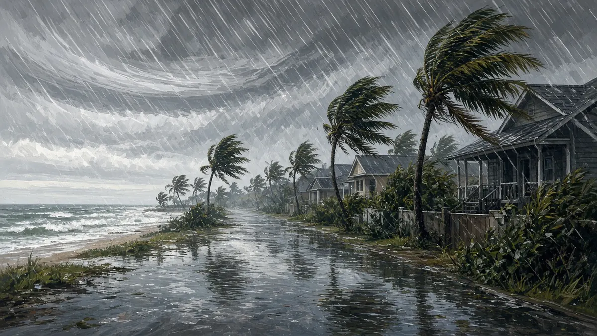
A large part of Florida’s Atlantic side is under a Flood Watch heading into a soggy stretch. The National Weather Service has issued watches covering east-central Florida, including Orlando, plus parts of northeast Florida near Jacksonville and the South Florida metro areas, as repeated rounds of showers and storms are expected from Tuesday afternoon, Nov. 17, through late in the week.
Update (8:19 PM ET): Forecasters raised the threat level Tuesday. Flood Watches for flash flooding now run from Duval County south to Miami-Dade County, and the Weather Prediction Center added a Moderate Risk (level 3 of 4) of excessive rainfall for parts of the east-central coast from Indian River County north to St. Johns County starting Wednesday, according to the Florida Division of Emergency Management. The state’s outlook calls for widespread 4 to 8 inches along the immediate coast through Saturday, with isolated totals that could top 12 to 16 inches, and notes that multiple days of Moderate Risk are highly unusual outside tropical systems. FOX 35 reports the east-central Florida watch, covering Brevard, Indian River, Orange, Osceola, Seminole and Volusia counties, runs through Friday night. The St. Johns River near Cocoa remains in major flood stage, 0.4 feet below its record, and is forecast to rise.
A Flood Watch means conditions are favorable for flooding. It is not a warning that flooding is happening. If the NWS issues a Flood Warning or Flash Flood Warning, that means flooding is imminent or occurring.
Who is under a Flood Watch
Three NWS offices have issued watches, with slightly different timing and rainfall forecasts:
| Area (NWS office) | Counties | When | Rain forecast |
|---|---|---|---|
| East-central Florida (Melbourne) | Volusia, Seminole, Orange, Osceola, Okeechobee, Brevard, Indian River, St. Lucie, Martin | Tuesday afternoon through Friday evening | 3–6 inches, locally 8–12 inches, highest near the coast |
| Northeast Florida (Jacksonville) | Flagler and St. Johns | Tuesday afternoon through Friday evening | 4–6 inches likely, locally 7–12 inches |
| Southeast Florida (Miami) | Palm Beach, Broward, Miami-Dade | Tuesday afternoon through Thursday evening | 2–4 inches through Friday, 6–8 possible, isolated up to 10; rates of 1–2 inches per hour |
Source: National Weather Service alerts as of early Tuesday, Nov. 17.
Jacksonville’s Duval County itself is not listed in the northeast Florida watch, but neighboring Flagler and St. Johns counties are.
In the Orlando area, the watch starts at 5 p.m. Tuesday and runs to 7 p.m. Friday, according to WDW News Today, which noted it includes Walt Disney World and surrounding areas such as Kissimmee and Celebration.
Why so much rain?
FOX 35 Orlando’s Storm Team says strong high pressure to the north and developing low pressure near the Bahamas will combine to drive persistent easterly winds that pull deep Atlantic moisture into Florida. The station described the pattern as slow-moving and El Niño-influenced.
The concern is not nonstop rain for four days. Instead, heavy bands are expected to develop repeatedly and move onshore, so different parts of the coast get hammered at different times. The NWS has outlined a Marginal to Slight Risk (Level 1–2 of 4) for excessive rainfall each day Tuesday through Friday, FOX 35 reported, with the greatest flooding potential along the coast south of Cape Canaveral, especially Wednesday and Thursday.
Orlando weather this week
Here is the NWS forecast for Orlando as summarized by WDW News Today:
- Tuesday: 50% chance of showers, mainly after 10 a.m.; high near 75; gusts up to 25 mph. 50% chance overnight, low around 64.
- Wednesday: Showers likely (70%); high near 76; gusts as high as 30 mph. Chance of storms at night.
- Thursday: Showers with possible storms after 1 p.m. (50%); high near 79; windy, gusts to 30 mph.
- Friday: Chance of showers and storms (40%); high near 79.
Forecasts can shift, and FOX 35 said the exact placement and timing of the heaviest bands remain uncertain.
Already-saturated ground and the St. Johns River
The bigger worry is where the rain lands. Brevard County and other coastal areas were already hit hard by heavy rain and flooding in recent weeks, and saturated ground can’t absorb much more. Runoff can quickly flood streets, neighborhoods and drainage systems, FOX 35 warned.
River flood warnings continue along the St. Johns River at Cocoa, Geneva and Astor, according to FOX 35. The river near Cocoa remains in Major Flood Stage, though levels appeared to be cresting. More heavy rain could interrupt that improvement, prolong flooding or push levels higher. Near Sanford, additional runoff could push the river into Minor Flood Stage.
Beaches and boating
Along the coast, gusts of 30–35 mph are possible Tuesday, along with rough surf and minor beach erosion. Offshore seas are forecast to build to 9–14 feet Wednesday through Friday, and rip currents are expected along Florida’s Atlantic coast all week, FOX 35 reported. No tropical systems are expected in the Atlantic over the next seven days, according to the National Hurricane Center; hurricane season ends Nov. 30.
How to prepare
The NWS advises residents to monitor later forecasts and be alert for possible Flood Warnings, and says people in flood-prone areas should be ready to act if flooding develops. The alerts point to the NWS flood-safety page (weather.gov/safety/flood), whose core message is “Turn Around, Don’t Drown.” In practice:
- Don’t drive or walk through flooded roads. Turn around and find another route.
- Have a way to get alerts, since Flood Warnings or Flash Flood Warnings can be issued at any hour.
- Theme park visitors should pack umbrellas and ponchos, as WDW News Today advised, and check park updates.
FAQ
Is Orlando under a Flood Watch?
Yes. Orange, Seminole and Osceola counties are included from Tuesday afternoon through Friday evening.
How much rain will Orlando get?
The NWS forecasts 3–6 inches across east-central Florida, with locally 8–12 inches, mostly in coastal counties.
Is Jacksonville under a Flood Watch?
Duval County is not listed, but nearby Flagler and St. Johns counties are.
What’s the difference between a Flood Watch and a Flood Warning?
A watch means flooding is possible; a warning means it is happening or about to.
Sources
- Flood Watch alerts for Florida (NWS Melbourne, Jacksonville and Miami) — National Weather Service
- Orlando weather: El Niño may bring heavy rainfall, flooding risk this week — FOX 35 Orlando
- National Weather Service Issues Flood Watch for Walt Disney World Resort and Surrounding Areas — WDW News Today
- Tuesday, November 17, 2026 5-Day Statewide Weather Outlook — Florida Division of Emergency Management
- Forecast: Up to 12" of rain could fall in Florida by Friday, models show — FOX 35 Orlando