Winter Storm
Winter Storm Targets Southcentral Alaska as Forecasters Watch a Possible Late-Week Nor'easter for the Northeast
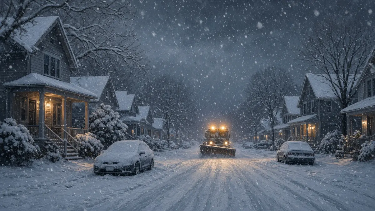
Winter weather is arriving in two parts this week. A Gulf of Alaska storm is bringing snow, freezing rain and strong winds to Southcentral Alaska on Monday, Nov. 9, and Tuesday, Nov. 10. In the lower 48, forecasters are watching a coastal storm, possibly a nor’easter, that could bring rain, wind and the season’s first snow to higher ground in the Northeast from Thursday into the weekend.
Here’s what is known so far and what is still uncertain.
Alaska: snow, ice and gusts up to 60 mph
According to National Weather Service products summarized by USAirNet, a Winter Weather Advisory covers Anchorage and the Lower Matanuska Valley from noon Monday to 3 p.m. AKST Tuesday. The forecast there calls for:
- Up to 3 inches of snow
- A light glaze to one-tenth of an inch of ice
- Gusts as high as 50 mph in parts of the Matanuska Valley
The Anchorage Hillside and Eagle River could see 2 to 8 inches of snow and gusts up to 60 mph. The weather service warned that travel could become very difficult and that the Monday evening and Tuesday morning commutes may be affected.
Several nearby areas are under Winter Storm Watches, which means serious winter weather is possible but not certain. Gusts could reach 55 to 70 mph around Eastern Turnagain Arm on Tuesday morning. Thompson Pass could see blizzard conditions, 6 to 12 inches of snow and visibility as low as a quarter mile in blowing snow.
Forecasters said small temperature changes will decide how long snow lasts before it turns to freezing rain or rain. That means conditions could vary sharply from one neighborhood or pass to the next.
Lower 48: a possible nor’easter late this week
On the East Coast, the setup is still coming into focus. The Economic Times, citing the FOX Forecast Center, laid out this rough timeline:
- Wednesday, Nov. 11: Low pressure begins to organize over the Ohio Valley.
- Thursday, Nov. 12: The system moves toward the Mid-Atlantic and Northeast with widespread rain.
- Friday, Nov. 13: It could strengthen near the coast, with snow possible in northern New York, Vermont, New Hampshire and Maine.
- Saturday, Nov. 14: The storm moves toward Canada, with lingering snow showers possible in parts of the Northeast and Appalachians.
Colder Canadian air is expected behind the system. Daytime highs could fall into the 30s and 40s, with lows in the 20s in some places, according to the same report.
How much snow? Probably not much near the coast
The Boston Globe’s meteorologist Ken Mahan urged caution about what he called “a lot of hype out there online.” He expects a modest storm, not a blockbuster. His early read:
- A coating to 2 inches is possible in a few higher-elevation spots in Western Massachusetts and northern New England.
- Some models show pockets of 2 to 4 inches in the higher terrain of northern and western New England.
- Boston should see light to steady rain, perhaps about an inch, and “will not see any snow” accumulate. Snow sticking along I-95 and I-495 is very unlikely.
The models disagree on the track. The Globe said the American GFS model takes the storm farther inland, which favors rain, while the European model takes it farther offshore on a more classic nor’easter path. Even the European scenario favors more rain than snow.
The Economic Times said a coastal track could bring stronger winds and heavy rain along the East Coast, while an inland track could bring more precipitation to the Ohio Valley and eastern Great Lakes. FOX Weather has also pointed to the Appalachians as a place where snow could reach farther south, that report said.
What’s still uncertain
The track and strength of the East Coast storm are not settled, and forecasts may change through the week. The Economic Times headline mentions winter storm warnings for several states, but its own reporting is less definite for some of them, including Minnesota and Idaho. Check your local National Weather Service office for the warnings and advisories that apply where you live.
Travel tips
- In Alaska, plan for slick roads, bridges and overpasses during the Monday evening and Tuesday morning commutes.
- In the Northeast, watch forecasts Wednesday and Thursday before driving through mountain areas Friday.
- Expect gusty winds along the coast even where it only rains.
FAQ
Is a nor’easter coming this week?
A coastal storm is possible Thursday through Saturday, Nov. 12-14, but its track and strength are still uncertain.
Will Boston get snow?
The Boston Globe’s forecast calls for rain in Boston, with any accumulating snow limited to higher elevations inland.
Where is a winter storm happening right now?
Southcentral Alaska, including Anchorage, Monday into Tuesday.
Related topics
Sources
- Mixed snow, ice and wind threaten Southcentral Alaska travel Monday into Tuesday — USAirNet (National Weather Service data)
- Potential nor'easter could bring snow to parts of New England later this week. Here's what we know right now. — The Boston Globe
- Winter storm 2026: Warning for Minnesota, Idaho, Maine, Connecticut and West Virginia — The Economic Times