New England Snow
Nor'easter to bring New England's first significant snow to the mountains, cold rain to Boston
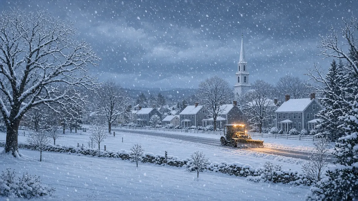
A developing nor’easter is set to bring the season’s first significant snow to parts of New England from Thursday, Nov. 12, into Saturday, Nov. 14. The snow will mostly fall in the mountains and higher elevations. Boston and the coast should mostly get a cold, windy rain.
Forecasts can still shift. The storm’s exact track will decide how much snow falls and where, so check your local National Weather Service office for the latest watches and advisories.
When will the snow start?
Here’s the timing as forecast by The Boston Globe and FOX Weather:
- Thursday, Nov. 12: Light snow and rain move into western Massachusetts, Connecticut and parts of western Vermont by late morning, the Globe said. Snow begins in parts of Vermont, New Hampshire and upstate New York. Rain reaches Greater Boston, southeastern Massachusetts, Cape Cod and Rhode Island in the afternoon, close to the evening commute.
- Thursday night: The low-pressure system moves off the mid-Atlantic coast and strengthens into a nor’easter. Northern New England and higher parts of Massachusetts see a wintry mix that changes to snow overnight as temperatures drop.
- Friday, Nov. 13: The storm tracks north, roughly parallel to the coast, and is expected to peak Friday night, according to FOX Weather. FOX Weather said the heaviest mountain snow is expected Friday afternoon and evening.
- Saturday, Nov. 14: The storm pulls away toward the Canadian Maritimes. Leftover rain and snow showers taper off Saturday morning.
How much snow will New England get?
Totals depend heavily on elevation, and the two forecasts differ somewhat:
- The Boston Globe forecast a coating to 3 inches of wet snow in higher spots across the Berkshires, northern Worcester County and most of Vermont, New Hampshire and Maine. Isolated spots on the highest terrain could see 3 to 6 inches. The Route 2 corridor west of I-495 has a decent shot at a coating to a couple of inches.
- FOX Weather said the White Mountains of New Hampshire and Maine and Vermont’s Green Mountains could see 5 to 8 inches. It said up to a foot is possible in the very highest elevations of the Adirondacks and Green Mountains. Outside the high terrain, FOX Weather expects totals to stay mostly under 3 inches.
FOX Weather listed valley cities such as Burlington, Vermont; Manchester, New Hampshire; and Augusta, Maine, among places that could see some snow. The Globe cautioned that because temperatures will hover near freezing and the ground is still relatively warm, actual totals “just might wind up slightly below what is forecast.”
Will it snow in Boston?
Probably not in any meaningful way. The Globe expects Greater Boston to get about half an inch of cold, wind-driven rain. Cape Cod, the South Coast and Rhode Island should see much the same.
A few flakes could mix in at lower elevations, especially overnight into early Friday. Friday morning is the best chance for that as far south as the Mass Pike and the I-495 to I-95 belt. Still, the Globe put the odds of anything sticking along I-95 and I-495 at “close to zero.” FOX Weather likewise said no snow accumulation is expected in major I-95 population centers south of Maine.
Boston usually sees its first inch of snow around Dec. 11, the Globe noted, and its forecaster expects the city to still be waiting after this storm.
Wind and travel
Gusty winds are expected from Thursday afternoon through much of Friday. Coastal gusts should top out around 20 to 30 mph, according to both outlets. The Globe said this storm shouldn’t cause major problems such as coastal flooding and called it more of an inconvenience for Greater Boston and southern New England.
FOX Weather warned that travel delays could build late Thursday into Friday as winds pick up and rain gets heavier along the I-95 corridor, including New York City and Philadelphia. If you’re driving in the mountains of Vermont, New Hampshire or Maine on Friday, plan for wet, heavy snow on the roads.
Snow beyond New England
The same storm is expected to set off lake-effect snow off the Great Lakes starting Friday. FOX Weather said Michigan’s Upper Peninsula could see the most, with more than half a foot possible in some spots. Upstate New York, including the Adirondacks, is also in line for accumulating snow.
FAQ
When is New England’s first significant snow?
Thursday night into Friday, Nov. 12-13, mainly in the mountains and higher elevations, with snow showers ending Saturday morning.
Is the nor’easter a major storm?
Forecasters don’t expect an especially powerful storm. The main impacts are mountain snow, a cold rain near the coast and gusty winds.