Winter Storm
Winter Storm Update: First Snowflakes Possible Thursday to Saturday From Pittsburgh to New England as a Nor'easter Takes Shape
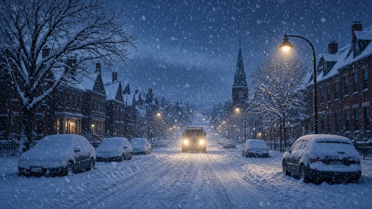
The forecast for the end of the week came into sharper focus Monday. Forecasters at weather.com and AccuWeather now expect a storm to develop over the Ohio Valley midweek and possibly become a nor’easter off the East Coast, bringing soaking rain, gusty winds and, for many interior spots, the first snowflakes of the season from Thursday into Saturday, Nov. 12-14.
The bigger certainty is the cold. Weather.com said daytime highs will drop about 20 degrees from Wednesday to Friday from Chicago to Atlanta, and AccuWeather expects the first hard freeze of the fall for many places starting Friday night.
What we know about the storm
According to weather.com’s latest outlook:
- Wednesday: Low pressure moves across the Midwest and strengthens over the Ohio Valley Wednesday night, with rain from Georgia to Michigan.
- Thursday night: A second low forms off the Eastern Seaboard. Rain could mix with or change to wet snow in parts of the interior Northeast.
- Friday into the weekend: The track is still uncertain. A storm hugging the coast would mean stronger gusts, coastal flooding at high tide from the northern Outer Banks to New England, and heavier inland snow. A track farther offshore would mean lighter rain and snow but still some coastal flooding risk.
Weather.com said the forecast “is likely to change a bit” as models come into agreement.
Where could it snow?
The best chances for accumulating snow run from the mountains of northern New England through upstate New York and the Appalachians, weather.com said. AccuWeather named Pittsburgh, Syracuse and Binghamton, New York, along with the Poconos, Catskills and Berkshires, as places that could see their first flakes.
Lake-effect bands off the Great Lakes could add some wet snow, too, as cold air moves over relatively warm lake water.
AccuWeather Senior Meteorologist Alex Sosnowski said it’s more common in a setup like this for wet snow to leave “a slushy coating to a few inches on grassy surfaces over some of the ridges and plateaus in the Appalachians,” and named the West Virginia mountains as possibly the best spot.
Will it snow in New York City, Philadelphia or Boston?
Probably not. Both outlets said temperatures along the I-95 corridor should stay too warm. “Even in a perfect setup for November snow, which this is not, it is very difficult for snow to fall, let alone accumulate at low elevations along the Interstate 95 corridor,” Sosnowski said. Atlantic water temperatures in the 40s to 60s mean any onshore breeze warms the air.
Pittsburgh weather this week
WTAE’s forecast for western Pennsylvania:
- Through Wednesday: Mild and dry.
- Thursday: An “Impact Day” for rain, with showers developing early and both commutes likely affected. Highs in the 40s to low 50s as a strong cold front arrives.
- Friday: Highs may stay in the 30s. A rain-snow mix is possible in the morning if moisture lingers. The Laurel Highlands have the best chance of all snow, and some could stick.
- Saturday: Staying cold, with more flakes not ruled out.
Accumulations look light for now, and WTAE said models disagree on how widespread Friday’s snow will be. Pittsburgh’s first measurable snow usually comes in mid-November.
Hard freeze coming
After the storm, subfreezing air from Canada will spill into the central and eastern states. AccuWeather said several nights near or below freezing could reach Nashville and Knoxville, Tennessee, Huntsville, Alabama, and possibly Atlanta’s northern suburbs, likely ending the growing season. Weather.com said weekend lows could fall into the 30s as far south as the Florida Panhandle.
What to do now
- Bring in or cover tender plants before Friday night in the South and Ohio Valley.
- If you’re driving through the Appalachians or northern New England Friday, check the latest forecast first.
- Expect gusty winds along the coast even where it only rains.
FAQ
Is a nor’easter coming this week?
A coastal storm could form Thursday night into Friday, but its exact track and strength are still uncertain.
Will Pittsburgh get snow?
A rain-snow mix is possible Friday morning, with the best chance of sticking snow in the Laurel Highlands.
When does the cold arrive?
Highs fall sharply from Wednesday to Friday, with a widespread freeze starting Friday night.
Earlier coverage: Winter Storm Targets Southcentral Alaska as Forecasters Watch a Possible Late-Week Nor'easter for the Northeast (Nov 9)